Parks, Hikes, Drives, and Lakes
Mt. Rushmore National Memorial
Mount Rushmore is a one of kind monument that makes South Dakota known for on the map. It is the states top tourist attraction and is proud to be known as the Mount Rushmore state. Mount Rushmore features a six foot head of George Washington, Thomas Jefferson, Theodor Roosevelt, and Abraham Lincoln. People from all over the country come to view this National Memorial. There is an amazing visitor center and you can even get Thomas Jefferson ice cream.
For current information, please visit their website.
http://nps.gov/moru/index.htm
Crazy Horse Memorial
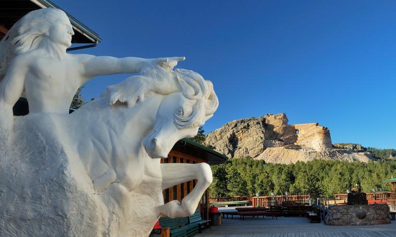
The Crazy Horse Memorial is a mountain monument under construction on privately held land in the Black Hills, in Custer County, South Dakota, United States. It will depict the Oglala Lakota warrior Crazy Horse, riding a horse and pointing to his tribal land.
Visitor Center
Monday-Sunday
9am-430pm
Laughing Water Restaurant
Monday-Sunday
11am-5pm
For current information, please visit their website.
https://crazyhorsememorial.org/
Jewel Cave National Monument
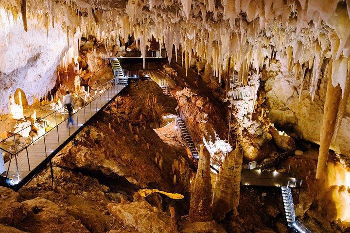
Jewel Cave National Monument contains Jewel Cave, currently the fifth longest cave in the world and second longest cave in the United States, with 220.01 miles of mapped passageways as of May 2024.
Tours available for scheduled times and are required to enter the caves.
For current information, please visit their website.
https://www.nps.gov/jeca/index.htm
Wind Cave National Park
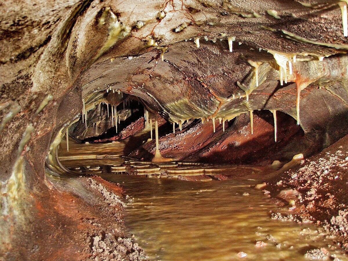
Wind Cave National Park is in the southwestern corner of South Dakota. It's known for the vast, underground Wind Cave, with chambers like the Post Office and the Elks Room. Many of the cave’s walls are rich in honeycomb-shaped calcite formations known as boxwork. The park's prairie and pine forests are home to bison, elk and pronghorn antelopes. Trails include Rankin Ridge, with views of the Black Hills.
Tours available for scheduled times and are required to enter the caves.
For current information, please visit their website.
https://www.nps.gov/wica/index.htm
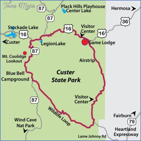
Wildlife Loop in Custer State Park
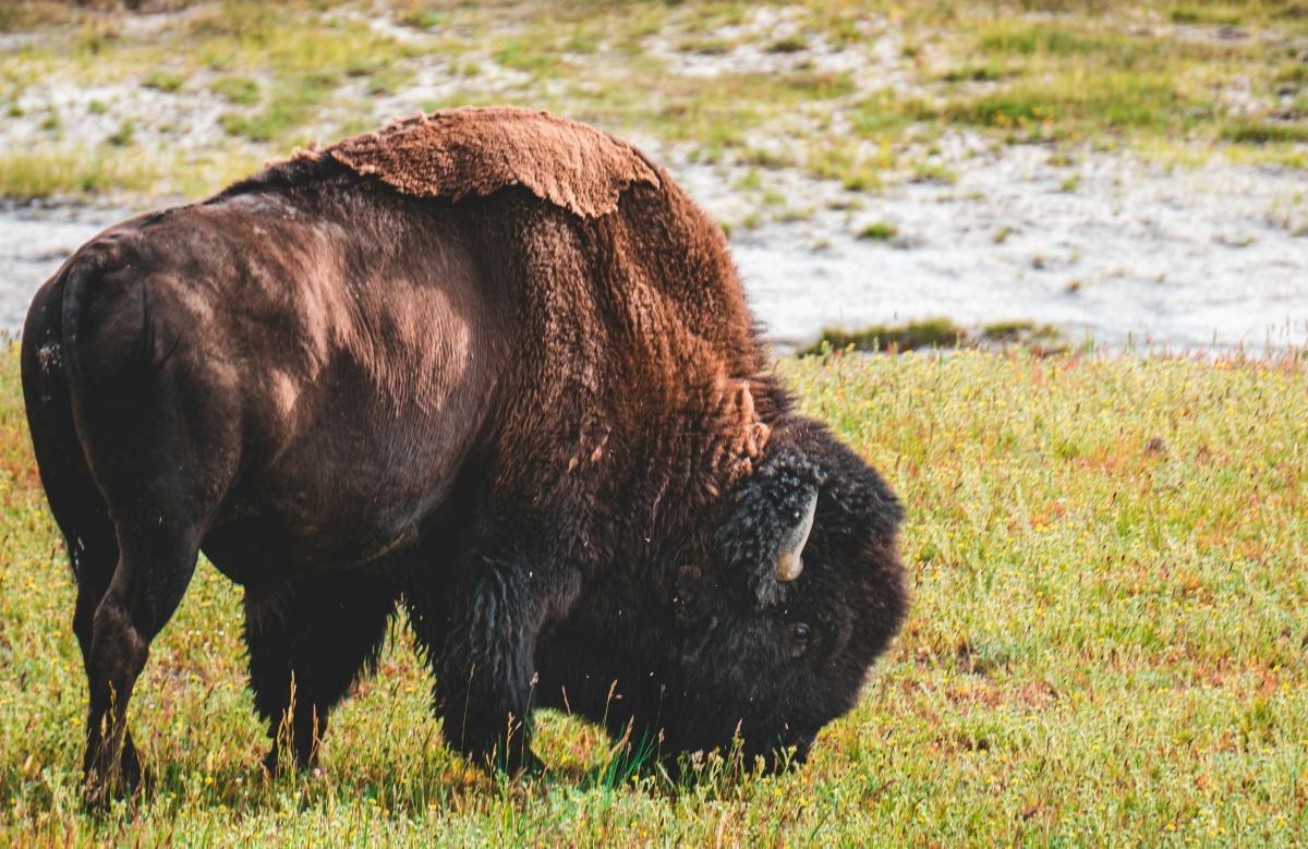
Enjoy wildlife and the state park scenery from your car! Park featuring wildlife such as buffalo, burros, and prairie dogs, and a bison exhibit.
Local Tip: Bring carrots and enjoy feeding the donkeys if you come across them on your drive! But do not feed or engage with ANY other wildlife, especially the bison!
Do NOT pet the fluffy cows.
Park pass required!
Park day or season passes can be obtained from kiosks when entering the state parks.
For current information, please visit their website.
https://www.travelsouthdakota.com/trip-ideas/story/wildlife-loop-state-scenic-byway
Custer State Park Hiking and Biking Trails
The Custer State Park is full of trails great for hiking or biking!
Please visit the South Dakota Game, Fish, and Parks page for some recommendations and directions to different trailheads.
https://gfp.sd.gov/csp-trails/
Geocaching
Want to hike with a purpose? Here are some local geocaches.
Geocaching Official
SD Game, Fish, and Parks Geocache List
Geocaching is an outdoor treasure-hunting activity that uses GPS-enabled devices. In geocaching, participants navigate to a specific set of GPS coordinates and then attempt to find the "geocache," (usually a container or marker) at that location. Participants sometimes bring a small trinket or card to leave in the cache and sign a logbook (bring a pen, in case there isn't one in the container)
Letterboxing
If you're a fan of treasure hunting but maybe you want something closer to town and less on the trails, try letterboxing!
Letterboxing
AtlasQuest
Letterboxing uses clues and riddles instead of GPS coordinates to find caches that usually contain a logbook to sign and a rubber stamp unique to that location to stamp your own personal logbook. Bring a blank notebook and collect stamps and write about your experiences in each place as a great way to create memories.
Sylvan Lake
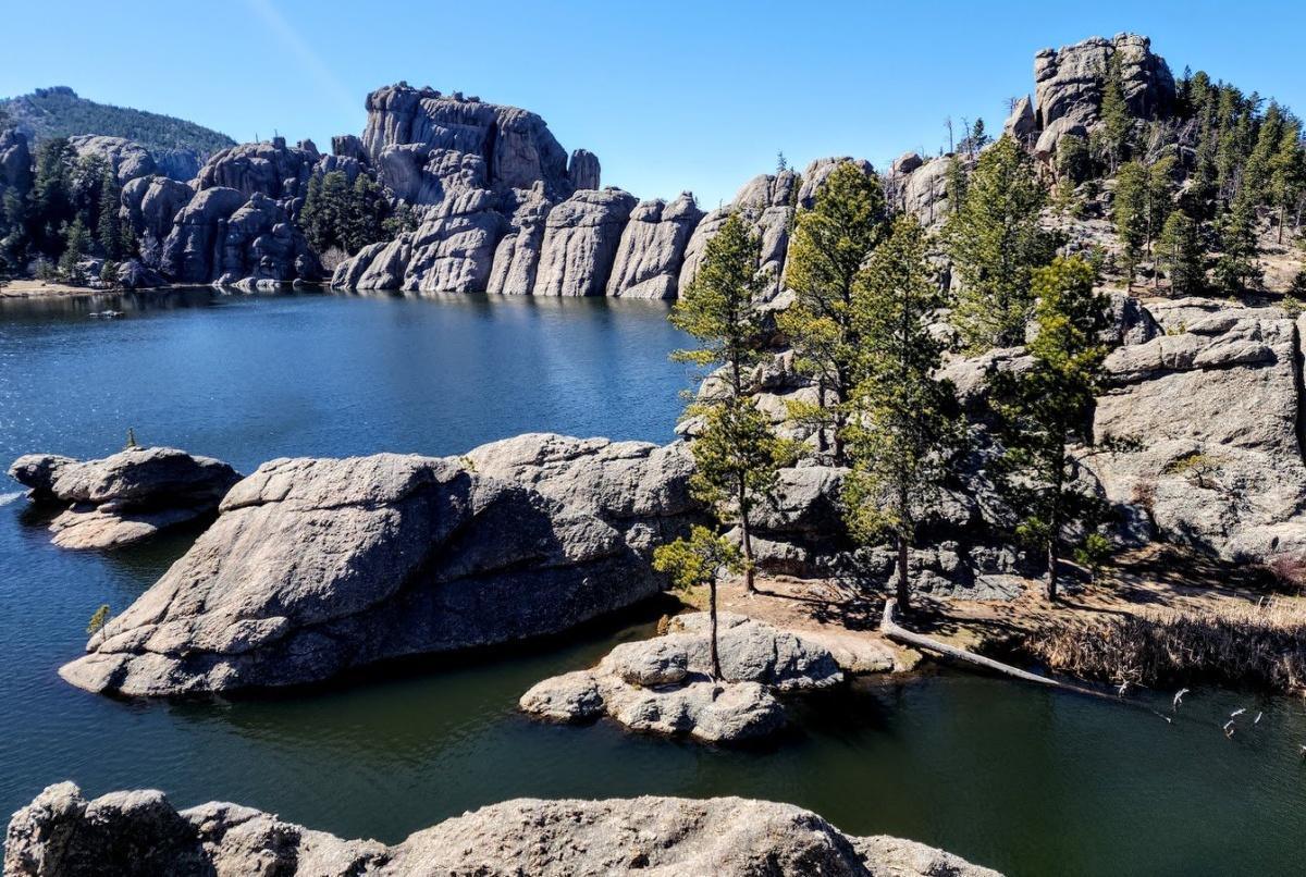
Sylvan Lake is a lake located in Custer State Park, in the Black Hills of South Dakota, United States. It was created in 1891 when Theodore Reder built a dam across Sunday Gulch Creek. The lake area offers picnic places, rock climbing, small rental boats, swimming, and hiking trails.
Fishing: Northern pike, Largemouth bass, Muskellunge, Smallmouth bass, White perch
Fishing License can be obtained from the Gold Valley Camp general store, as well as worms and other bait and tackle. No fishing license required under 18 years of age.
Park pass required!
Park day or season passes can be obtained from kiosks when entering the state parks.
Legion Lake Lodge
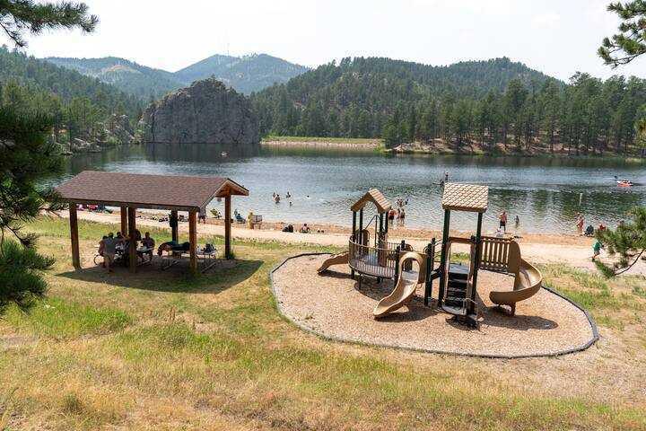
Legion Lake Lodge is a resort area within Custer State Park, complete with cabins, a restaurant, store, and activities. It's perfect for summer picnics, lazy days at the beach, and treks into the outdoors. You can fish, boat, and swim at Legion Lake, or rent a variety of watercraft vehicles.
Fishing License can be obtained from the Gold Valley Camp general store, as well as worms and other bait and tackle. No fishing license required under 18 years of age.
Park pass required!
Park day or season passes can be obtained from kiosks when entering the state parks.
Bismark Lake
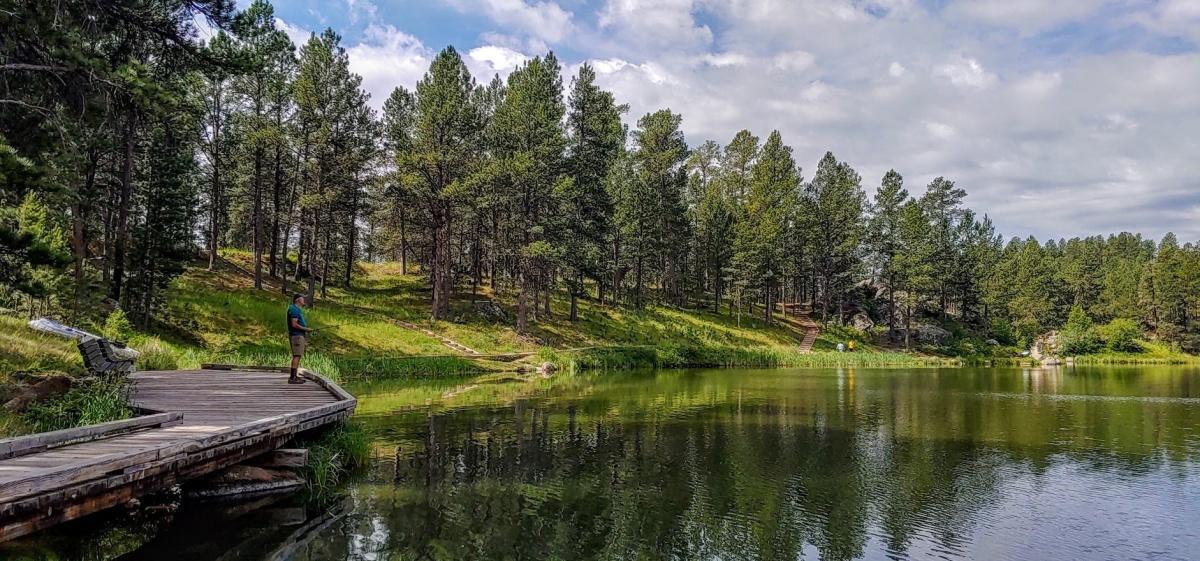
Bismark Lake is set amidst a scattering of aspen groves and Ponderosa pine. This is a great place for visitors seeking recreation and relaxation in the Black Hills National Forest. The lake is an ideal spot for fishing. Non-motorized boating is allowed. Acess to this lake is through Custer State Park near the West Highway 16A entrance.
Fishing: Brown trout, Rainbow trout, Smallmouth bass, Northern pike, Catfish, and a variety of Sunfish.
Fishing License can be obtained from the Gold Valley Camp general store, as well as worms and other bait and tackle. No fishing license required under 18 years of age.
Needles Highway
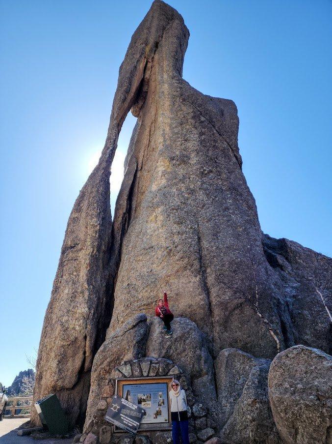
The Needles Highway is more than a 14-mile road—it’s a spectacular drive through pine and spruce forests, meadows surrounded by birch and aspen, and rugged granite mountains. The road’s name comes from the needlelike granite formations that seem to pierce the horizon along the highway.
The roadway was carefully planned by former South Dakota Governor Peter Norbeck, who marked the entire course on foot and by horseback. Construction was completed in 1922.
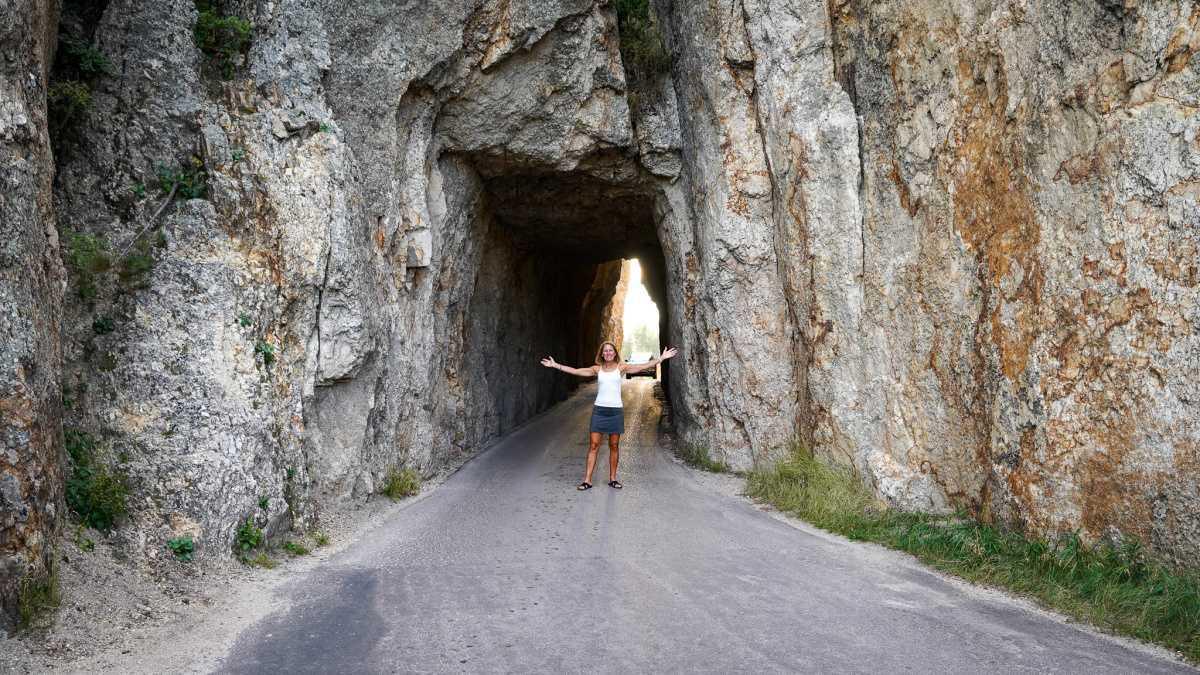
Drivers should be aware of all tunnel sizes in Custer State Park, and Needles Highway features the narrowest one of them all.
–Needles Eye Tunnel: 8'0" Wide / 9'9" High
–Iron Creek Tunnel: 8'9" Wide / 10'10" High
For more information, please visit their website.
https://www.custerresorts.com/activities/scenic-drives/needles-highway
Custer Skywalk Trail
Hike to the Custer sign overlooking the city!
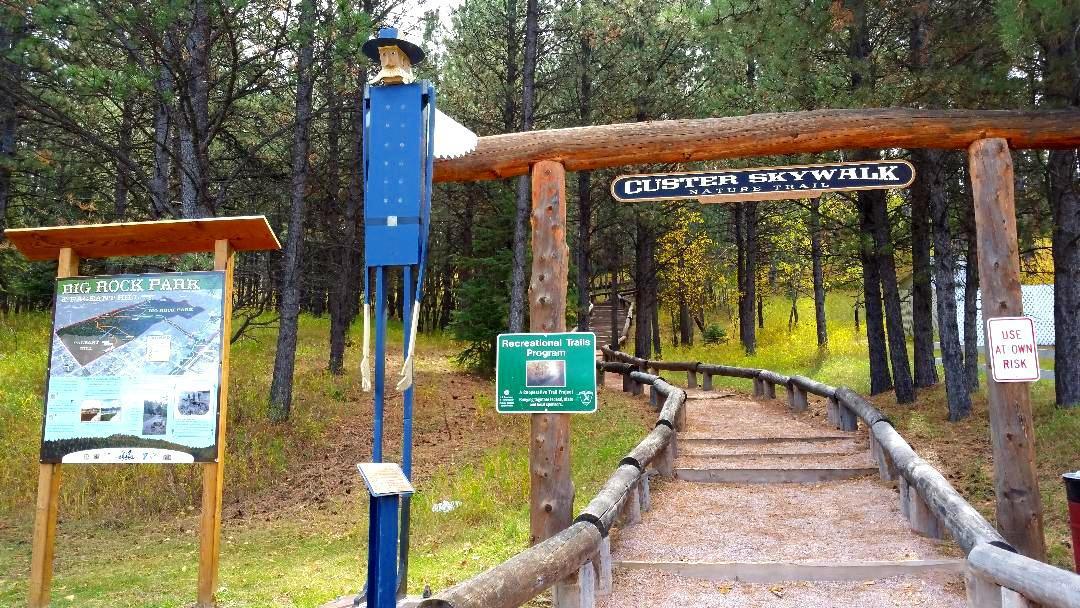
The Custer Skywalk is a series of short trails with great views overlooking the town of Custer.
Park at Harbach Park in Custer, just 2 blocks off Main Street. The path is a dirt/small gravel trail that has stairs built into the hillside. There are a couple of different trails to take - one leading to an observation point that goes to the left and one leading to the Big Rock Observation Point that goes to the right. From the observation point you will have a pretty 360 degree view of Custer and the surrounding area. You will be able to see Black Elk Peak (formerly known as Harney Peak), the Needles, Buckhorn Mountain, Calamity Peak, and Mount Coolidge Fire Lookout. While up there you can also walk over to the Custer sign as well!
Length: .5 miles
Elevation Gain: 239ft
Estimated Time: 23 min
https://www.blackhillshikingbikingandmore.com/custer-skywalk
George S. Mickelson Trail
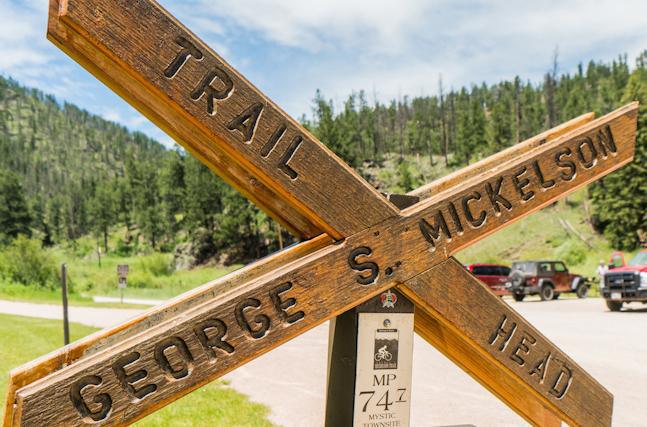
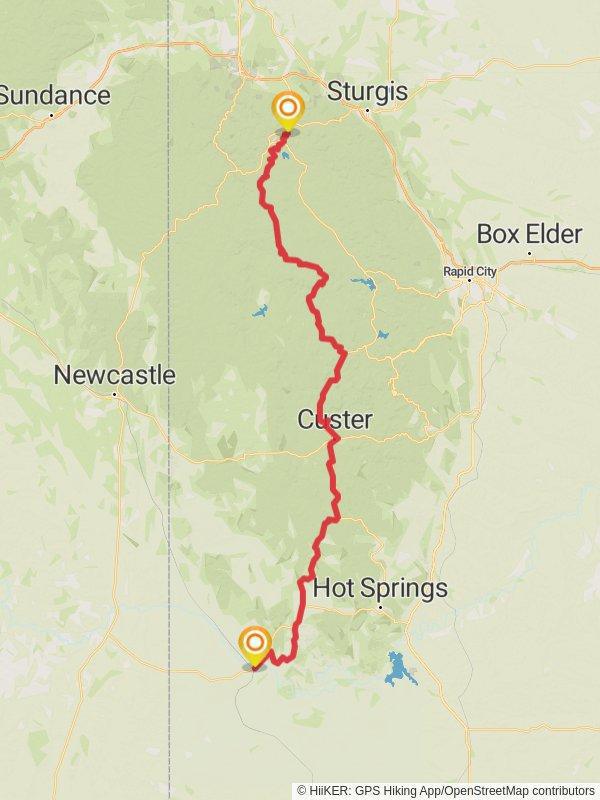
The George S. Mickelson Trail is a 109-mile stretch through the South Dakota Black Hills. Built more than 100 years ago as a Gold Rush rail line, the path was converted to a trail and opened in 1998.
Today, the Mickelson Trail offers visitors all kinds of adventure including hiking, birding, biking and horseback riding, as well as cross-country skiing and snowshoeing in the winter. Be sure to keep an eye out for the four rock tunnels and 100 train bridges that remain along the crushed limestone path.
The Mickelson Trail runs right next to Gold Valley Camp and is a great walk scenic walk or bike into town.
https://www.mickelsontrailaffiliates.com/trail-info

